The Board
President, Evan Brown, CP, CMS
 |
Evan Brown is a Certified Photogrammetrist (CP) and Certified Mapping Scientist (CMS GIS/LIS) with 15 years of experience. Evan is a graduate of the University of Florida with a bachelor’s degree in Geography and is currently pursuing a master’s degree in Geomatics also from the University of Florida. Evan is employed with Sarasota County Government its Enterprise GIS Manager. Evan's 15 years of experience include technical efforts and project management in GIS, GPS, photogrammetry, LIDAR, and remote sensing. Evan has been a member of ASPRS since 2001 and has been honored to serve the Florida Region as Director and Vice President since 2007. Please contact Evan at This email address is being protected from spambots. You need JavaScript enabled to view it. should you have questions or input for the Florida Region. |
|---|
Vice-President, Brian E. Murphy, CP, GISP
 |
Brian Murphy currently serves as a Business Development lead for the Integrated Intelligence Systems Business Unit of Northrop Grumman where he has been working in the geospatial industry for just over six years. While at Northrop Grumman, he has held a variety of geospatial positions, including geospatial analysis, GIS application development, photogrammetry, orthorectifiation and LiDAR processing. He graduated from the University of Florida with a Bachelor’s in Land and Water Management (2001) and a Masters of Arts in Urban and Regional Planning (2009). Brian currently serves as the Florida Region Vice President and Webmaster, in addition to serving as the Vice-Chair of the national ASPRS membership committee. He also serves on a number of other national level ASPRS committees and divisions, including the Sustaining Members Council and Professional Practice Division. |
|---|
Past President, Erin McCormick
 |
Mr. McCormick has over 12 years of experience in the mapping and environmental sciences here in Florida. He earned a Bachelors of Science degree from the University of Rhode Island in Environmental Geology and worked for several years as a Hydro Geologist before moving into the mapping field. He has worked on projects ranging from USGS Quadrangle updates, wetlands delineations, Land Use/Land Cover and photogrammetric mapping. Currently he is the Past President of the Florida Region of ASPRS and works for Aero-Metric, Inc. as an Account Manager for the Southeastern United States. |
|---|
Secretary and Treasurer, Dr. Bon Dewitt
 |
Bon Dewitt is an Associate Professor and administers the Geomatics Program in the School of Forest Resources and Conservation at the University of Florida. He conducts research and teaches courses in many of the various aspects of Geomatics. He has been a member of the American Society for Photogrammetry and Remote Sensing since 1981 and has served on the ASPRS Florida Region Board of Directors for over 15 years. Dr. Dewitt is also licensed as a Professional Surveyor and Mapper in the State of Florida and serves on the Board of Directors for the Florida Surveying and Mapping Society. |
|---|
National Director, Jeff Young
 |
T. Jeffrey “Jeff” Young is currently the Vice President and Director of Photogrammetry for Pickett & Associates, Inc. He is a Florida licensed Surveyor & Mapper, a licensed Photogrammetric Surveyor with the State of South Carolina, a licensed Surveyor Photogrammetrist with the Commonwealth of Virginia and an ASPRS Certified Photogrammetrist. Jeff has held positions within ASPRS as a Florida Director, National Membership Chairperson and is currently Florida’s National Director. He has been a member since 1993. |
|---|
Director, Ekaterina Fitos
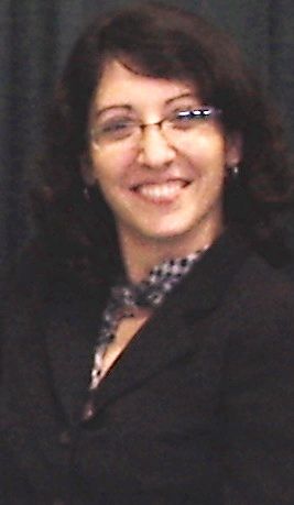 |
Ekaterina Fitos is a certified GIS professional currently employed with the Southwest Florida Water Management District. Her responsibilities include: project management for the District’s Light Detection and Ranging (LiDAR) data with focus on distribution and maintaining quality assurance and control, contract administration for the annual Digital Orthophotography program, and GIS analysis. She holds a Masters in Business Administration (MBA), Masters in Geography and GIS, and Bachelors in Environmental Science. Ekaterina has served as a Director for the Florida Region of ASPRS since 2008, and is currently chair of the Professional Award Committee. |
|---|
Director, Michael Joos
 |
Michael Joos is a Certified Photogrammetrist and GISP with more than 25 years experience in the photogrammetric and geospatial profession. Throughout his career, he has held a variety of technical and business development positions, and is currently employed as Manager of US Sales by GeoCue Corporation. |
|---|
Director, Mike Rodger
 |
Michael Rodger is Vice President of Southern Resource Mapping in Flagler Beach, Florida and is a Certified Photogrammetrist, Registered Professional Photogrammetrist (OR) and Licensed Surveyor Photogrammetrist (VA). He has over 25 years of experience in Photogrammetry, mapping and GIS. In his career he has served in project management and executive positions, including co-founding a Photogrammetric company and creating and managing an in-house Photogrammetric department at a Fortune 500 company. Michael has served as project manager on hundreds of mapping projects for private engineer, land surveyor and land development companies to military, federal and state governments. His experience includes project design, flight and ground control planning, stereo and geographic information systems data compilation and LiDAR processing. Michael currently serves as a Director on the Florida board of the American Society for Photogrammetry and Remote Sensing. |
|---|
Director, Brenda Burroughs
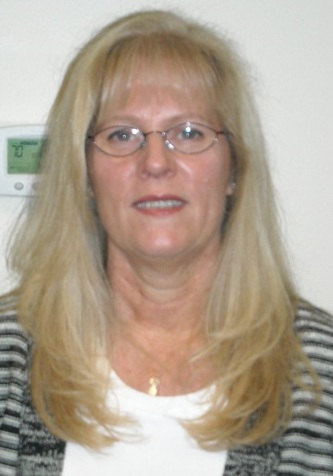 |
Brenda has been in the Geospatial Profession for over twenty years. She is currently the U.S Region Sales Manager for Optech, responsible for sales and marketing of Airborne Digital Aerial Camera and LiDAR Systems. She began her career selling Landsat satellite imagery and over the years has expanded her knowledge and experience to include aerial imagery, digital mapping and analytical services, with extensive knowledge and background in GIS/Remote Sensing Applications products and services. |
|---|
