The 2017 Board of Directors
Meet the 2017 Florida Region of ASPRS Board of Directors:
President, Al Karlin, PhD
 |
Al Karlin went to school at Rutger’s University in New Jersey and Miami University of Ohio. He graduated in 1978 with a Ph.D. in Theoretical Biology. He did a post-Doctoral Fellowship at Florida State University before taking a position in the Department of Zoology at the University of Arkansas. While on the faculty at the University of Arkansas, Al held positions in the Departments of Zoology, Computer and Information Science, and Engineering Technology. Dr. Karlin left the University after 20 years and moved to Florida in 2000. After a short time as a consultant in the private sector, he took his current position with the Southwest Florida Water Management District where as the Senior GIS Scientist, he directs the District’s LiDAR data collection missions. |
|---|
Vice President, Erin McCormick
 |
Erin McCormick has spent the last 20 years working in the environmental and geographic sciences here in Florida. His experience covers GIS, Geology, Photogrammetry and Remote Sensing working with aerial imagery/lidar, mobile mapping, GPS data collection, surveying, asset management and GeoDatabase creation. As Vice President of the Florida Chapter of ASPRS he is committed to building a strong community of professionals in all of the different geoscience disciplines in order to share knowledge and increase networking opportunities throughout the state. Mr. McCormick currently works as the Florida Region GIS and Mapping Solutions Consultant for Navigation Electronics, Inc. which was the 2015 and 2016 Trimble Worldwide Mapping and GIS Dealer of the Year. |
|---|
Past-President, Ekaterina Fitos, GISP
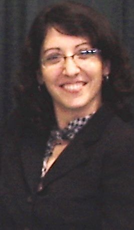 |
Ekaterina Fitos, GISP, is a certified GIS professional (GISP) currently employed with the engineering firm CH2MHill. |
|---|
Secretary and Treasurer, Dr. Bon Dewitt
 |
Bon Dewitt is an Associate Professor and administers the Geomatics Program in the School of Forest Resources and Conservation at the University of Florida. He conducts research and teaches courses in many of the various aspects of Geomatics. He has been a member of the American Society for Photogrammetry and Remote Sensing since 1981 and has served on the ASPRS Florida Region Board of Directors for over 15 years. Dr. Dewitt is also licensed as a Professional Surveyor and Mapper in the State of Florida and serves on the Board of Directors for the Florida Surveying and Mapping Society. |
|---|
National Director, Jeff Young
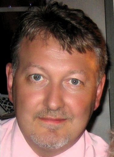 |
T. Jeffrey “Jeff” Young is currently the Vice President and Director of Photogrammetry for Pickett & Associates, Inc. He is a Florida licensed Surveyor & Mapper, a licensed Photogrammetric Surveyor with the State of South Carolina, a licensed Surveyor Photogrammetrist with the Commonwealth of Virginia and an ASPRS Certified Photogrammetrist. Jeff has held positions within ASPRS as a Florida Director, National Membership Chairperson and is currently Florida’s National Director. He has been a member since 1993. |
|---|
Director at-large, Brenda Burroughs
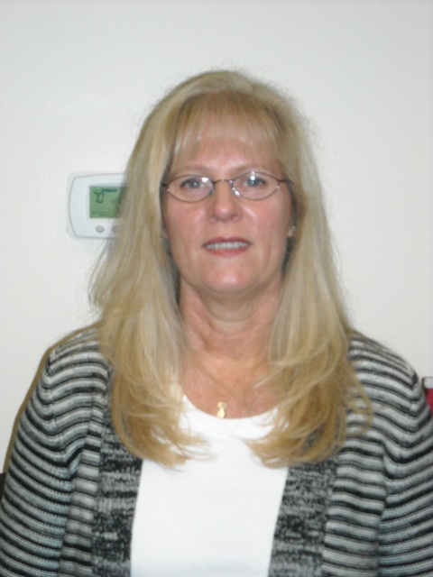 |
Brenda is the US Region Sales Manager for Teledyne Optech with over twenty-five years in the Geospatial Profession. She began her career selling Landsat satellite data before airborne imagery and LiDAR data became household names. Over the years she has expanded her knowledge and experience to include airborne imagery and LiDAR, and mobile LiDAR. As the US Region Sales Manager, Brenda is responsible for sales and marketing for airborne survey products and exceeding customer’s expectations. |
|---|
Director, Brian Murphy, CP, GISP
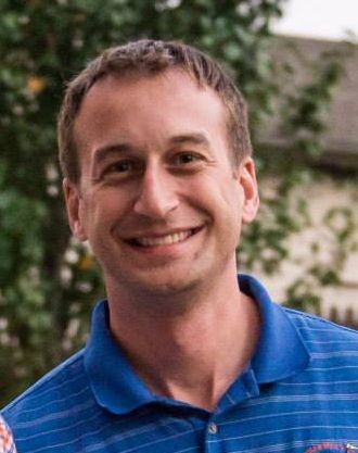 |
Brian Murphy is the owner of B. E. Murphy Consultants, LLC and works with a number of different companies, both inside and outside the Geospatial Industry, in order to help support them with Business Development related activities, in order to help grow their business. Brian recently obtained his Florida PSM in 2015 and is also an ASPRS Certified Photogrammetrist and a GIS Professional. He graduated from the University of Florida with a Bachelor’s in Land and Water Management (2001) and a Masters of Arts in Urban and Regional Planning (2009). Brian has had the honor of serving the Florida Region as a Director, Vice President, President and as the Web Master. He has also served on the national Board of Directors, and he currently represents ASPRS on the Board of Advisors for the Geomatics Program and the School of Forestry and Resource Conservation at the University of Florida.
|
|---|
Director, Keith Patterson PSM, SP, GISP
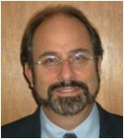 |
Keith is a Senior Project Manager at Dewberry in Tampa, Florida and is a Florida licensed Professional Surveyor and Mapper (PSM). He has over 30 years of experience in remote sensing, photogrammetry, mapping, surveying, GIS and related geospatial services. His technical experience includes project design, LiDAR data processing, photo interpretation, change detection, trend analysis, environmental field reconnaissance, accuracy assessment and geodatabase construction aimed at supplying clients with reliable geospatial information. He has served in both executive level and program management positions. |
|---|
